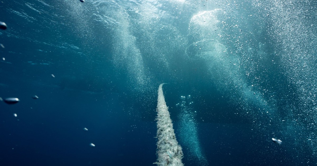

A robot submarine vanished beneath Antarctica without warning. Before it went silent, it had spent 27 days mapping somewhere that no human or machine had ever properly seen before – the underside of a glacier, pressed against the bottom of a floating ice shelf, carved into impossible shapes by invisible ocean currents. What it found there was stranger than anyone expected. And then it was gone.
That is not the setup for a thriller. It is what happened during a real scientific mission to the Dotson Ice Shelf in West Antarctica, one that was published in Science Advances and has been rewriting what researchers thought they knew about how Antarctica melts. The submarine at the center of it – an autonomous underwater vehicle named Ran – returned data that upended simplified models of glacial melt, mapped terrain that satellites could not see from space, and then failed to return from a subsequent dive. The cause of the submarine ocean floor disappearance has never been confirmed.
What Ran found under the ice is directly connected to how much sea levels will rise in the coming decades, and how fast.
Who Was Ran, and What Was She Doing Down There?
Ran was a torpedo-shaped robot submarine, an autonomous underwater vehicle programmed to dive into the cavity beneath the Dotson Ice Shelf in West Antarctica and scan the ceiling of ice above it with sonar. She was named after the Norse goddess of the sea – the one who drags ships and sailors down to the deep with a net – which, in retrospect, is either an ominous choice or a fitting tribute.
The work was led by Anna Wåhlin, a professor of oceanographic physics at the University of Gothenburg, whose research focuses on how ocean currents erode ice shelves from below, changing glacier stability and sea level. Her team was trying to solve a specific puzzle: why does one side of the Dotson Ice Shelf melt so much faster than the other? The shelf has a thick, relatively stable eastern side and a thinner, rapidly thinning western side, and the reason for the difference was not something satellites could explain from above. To understand it, someone had to go underneath.
Over 27 days, Ran drove more than 1,000 kilometers back and forth in total darkness, pushing as far as 17 kilometers into the cavity, under ice roughly 350 meters thick. There was no light, no way to surface mid-mission, and no direct communication while she was under the shelf. The vehicle operated on pre-programmed instructions and returned to the ice edge when its mission was complete. On the first mission, it came back. On a later mission, it did not.
What the Maps Showed
The data Ran collected before disappearing changed how scientists understand the whole process of basal melt – the melting that attacks ice from below, where ocean water meets glacial ice in the dark.
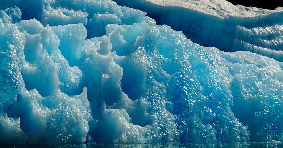
Ran mapped terraces, channels, widened fractures, and teardrop-shaped pits that satellites could not see from space. These were not random surface variations. Each shape was a record of how ocean currents had been interacting with the ice, sometimes over decades, and each told a slightly different story about the speed and direction of the water moving through the cavity.
Where currents move slowly, the base of the ice looks like stacked ledges, formed as melting eats away at flat sections and leaves small steps. In faster-moving water, the patterns are smoother, grooved, shaped by turbulence rather than patient erosion. The teardrop pits were among the stranger finds: depressions carved into the ice by swirling eddy currents, spinning in place against the roof of the glacier like a drill that never stops.
Ran’s maps show that melting is not happening in one simple, even layer. Warm ocean water is cutting the ice in different ways depending on currents, fractures, and hidden channels, which means some computer models may still be missing important details. Climate models that predict sea level rise depend on understanding how quickly Antarctic ice shelves will lose mass. If the actual process is more varied and complex than the models assume, the projections could be off.
Field measurements under Dotson have recorded basal melt rates that vary widely across the shelf, driven by warm water intrusion – a pattern that satellites alone cannot fully resolve. Analysis of measurements under Dotson indicates that this ice shelf contributed 0.02 inches to sea level between 1979 and 2017. That number sounds small until you consider that Dotson is one of dozens of ice shelves across West Antarctica, and that the region holds enough ice to raise global sea levels by more than ten feet if it were to fully collapse.
Why Dotson Matters Beyond Itself
An ice shelf like Dotson works like a doorstop, holding back the glaciers that sit on the land behind it. As it thins, it loses its grip, and the glaciers start sliding into the ocean. Land-based ice raises sea levels, resulting in higher tides and greater chances of flooding – even for coasts half a world away from Antarctica.
Right next door to Dotson is the Thwaites Glacier, which scientists have nicknamed the “doomsday glacier” due to its sheer size and the rate at which it is losing ice. The two systems are not isolated from each other. Understanding how warm ocean water moves through one cavity helps researchers model what is happening in the other. Ran’s mission under Dotson was formally part of a larger international research effort to understand how ocean temperatures affect the behavior of West Antarctic ice shelves generally.
Wåhlin described navigating the submarine into the cavity as “a bit like seeing the back of the moon.” The back of the moon was photographed in 1959. The underside of the Dotson Ice Shelf had never been mapped in comparable detail until Ran went in and came back with the data. There are places on Earth that remain genuinely unknown – not metaphorically but literally – and the cavity beneath an ice shelf is one of them. The problem is that these unknown places are the ones currently deciding the fate of coastal cities from Miami to Mumbai.
The Disappearance
The team completed successful dives below Dotson’s ice shelf in 2022 before returning in 2024. On that return expedition, Ran completed one dive before disappearing without a trace. No signal, no wreckage recovered, no confirmed explanation.
Possible causes include equipment failure or a collision with an underwater ridge. The cavity beneath an ice shelf is not a clean, open space. It is a jagged, unpredictable environment where ridges jut down from the ice above and the seafloor below is uneven and largely unmapped. A vehicle operating in total darkness, navigating by sonar and inertia, can encounter something that the pre-programmed route did not anticipate. When that happens miles inside a glacier, there is no recovery mission that can follow.
Wåhlin acknowledged the loss plainly: “Although we got valuable data back, we did not get all we had hoped for. These scientific advances were made possible thanks to the unique submersible that Ran was. This research is needed to understand the future of Antarctica’s ice sheet, and we hope to be able to replace Ran and continue this important work.”
Ran was purpose-built for under-ice exploration, a rare and expensive piece of equipment. The disappearance has prompted new discussions about the design and resilience of autonomous systems operating in extreme environments. The vehicles that follow Ran into these cavities will need to account for obstacles that no map currently shows – because there is no map, and making one was the job Ran was sent to do.
The submarine sent to chart the unknown disappeared into the unknown before the job was finished.
What We Still Don’t Know
Satellites can measure the surface of the ice. Ice cores can tell us what happened in the past. But the cavity beneath a floating ice shelf, where warm ocean water meets cold glacial ice, is inaccessible by any method except sending a machine in and hoping it comes back. The Dotson submarine ocean floor disappearance illustrates how much of Earth’s most consequential geography remains poorly understood.
Discoveries like a diver finding objects on the ocean floor make headlines because the deep ocean still surprises us. Ran’s mission operated at a different scale of stakes – not a lost ring but a missing reckoning with how quickly the ice is going.
The data Ran did return has already changed modeling approaches. Incorporating terraces, fractures, and melt channels into climate models should help narrow predictions of how quickly West Antarctica might lose ice under future conditions. The question is whether the pace of discovery is fast enough to keep up with the pace of change.
A replacement vehicle is reportedly in development. Ran II is scheduled for delivery in winter 2026-2027, better equipped with improved navigation systems to handle the extreme conditions. Whether it goes back to Dotson, and what it finds there, depends on funding, logistics, and whether the cavity itself remains navigable as the shelf continues to thin. The ice is not waiting for the schedule to be sorted out.
What Ran Actually Found
The drama of a robot submarine disappearing in Antarctica is real and genuinely strange. But the more consequential part of this story is what Ran found before it vanished.
The shapes on the underside of that ice – the terraces, the teardrop pits, the channels running along fractures – are not decorative. They are evidence of a process already underway and already contributing to the slow rise of the oceans. The models scientists use to predict how fast that will happen are only as good as the data fed into them. For decades, the underside of ice shelves was a blank on the map. Ran began filling it in. The fact that it didn’t finish is not a closed story. It is a description of where things currently stand.
The ocean floor keeps changing. So does our understanding of it – slowly, at the cost of expensive machines, one mission at a time.
AI Disclaimer: This article was created with the assistance of AI tools and reviewed by a human editor.